


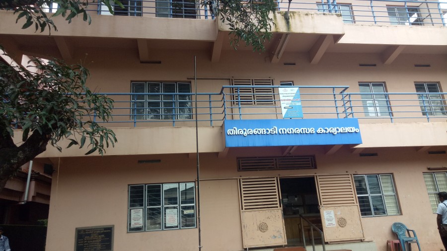
Tirurangadi Municipality
1
37
144
2309
87
1
Tirurangadi is a municipal and census town in Malapuram district of Kerala, South India. It is a historical town which is much famed for its active participation in the freedom struggle, especially those dating back to 1920s. It is a Municipality and a taluk. It is located 25 km west of Malappuram, the district headquarters, 30 km south of Calicut and 170 km north of Ernakulam.
2.1 Geography
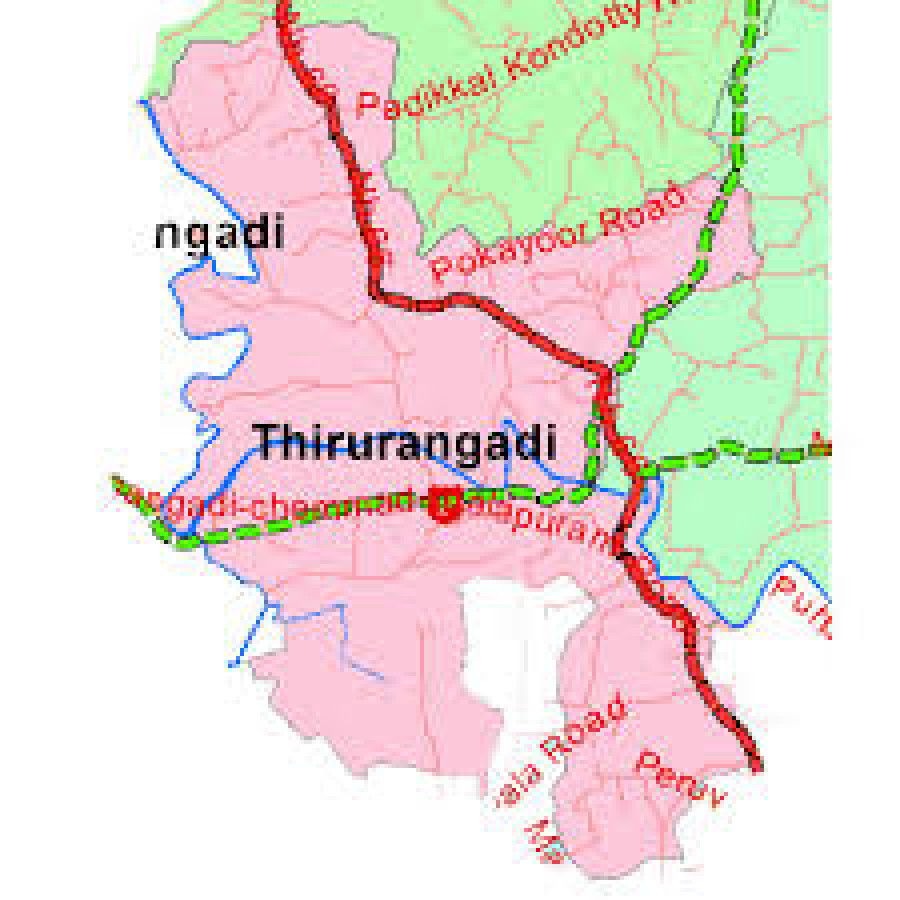
Tirurangadi is located at 11.05°N 75.93°E.[1][2] It has an average elevation of 10 m (33 ft).
2.2 Religion
Total population: 56,632 Hindu: 14.39% Muslim: 85.24% Christian: 0.23% Sikh: 0.00% Buddhist: 0.00% Jain: 0.00% Others: 0.00% Not Stated: 0.14%[3]
2.4 Transport
This town is well connected with all parts of Kerala and National Highway 66 (India), (Old number NH17) passes through this town. There are two main bus stations situated in the town, one in Chemmad, and another one in Kakkad. The former is for buses plying to the nearby areas while the latter is used for long distance buses only.
The nearest railway station is at Parappanangadi, 7 km away from the town and Calicut International Airport is just 21 km away.
The famous house of Ayurveda Tirurangadi Aryavaidyasala is just 10 km away from Tirurangadi.
|
Name of Municipality |
: |
Tirurangadi |
|
District |
: |
Malappuram |
|
Block |
: |
Tirurangadi |
|
Area (in KM2) |
: |
17.73.KM2 |
|
No. of wards |
: |
39 |
|
Population |
: |
56632 (2011 CENSUS) |
|
Male |
: |
26975 |
|
Female |
: |
29657 |
|
No. of Households |
: |
13269 |
|
Density of population |
: |
3194 KM2 |
|
SC Population |
: 1338 (As per 2011 census) |
|
|
ST Population |
: 0 (As per 2011 census) |
|
|
Male Female Ratio |
: |
1099 (FEMALE) |
|
Literacy Rate |
: |
94 % |
|
No. of BPL families |
: 8892 (2009 BPL LIST) |
|