


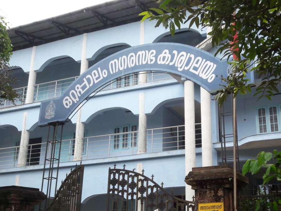
OTTAPPALAM MUNICIPALITY
1
36
414
6216
280
10
History - General Background & Evolution of the City
Palakkad is one of the fourteen revenue district of Kerala. It's geographical position, historical background, rural nature, educational status, tourist attractions and above all, the developmental activities are wide and varied. Palakkad situated almost in the center of the state and opens the state to the rest of the country through the Palakkad gap. This 32 to 40 kilometers wide natural gap in the western ghats is perhaps the most influential factor for the unique characteristics of the district such as climate, commercial as well as cultural exchanges between the state and the rest of the country. Palakkad District is bordered on the northwest by the Malappuram district, on the southwest by the Thrissur district and the east by the Coimbatore district of Tamilnadu state. The geographical area of the district is 4480km² which is 11.5% of the states area. The district is one of the main granaries of Kerala and it's economy is primarily agricultural. The proximity and easy approach to Tamilnadu have caused the blend of Malayalam and Tamil cultural here.
Ottapalam Town located on the banks of Bharathapuzha has a historic background as old as urbanization history forms in Kerala. Ottapalam is a Municipal Town in Palakkad District which is the revenue division and Taluk Headquarters of Ottapalam and Mannarkkad Taluk. Formerly the Municipality was cultural capital of Valluvanad Taluk in Malabar district. World civilization had grown up in the cradle of river bank. So naturally this land which in the bank of river Nila might to be a center of primitive agricultural society. During that time there were plenty of Paddies, Plantain tree, coconut tree, mango tree and many other tree's.
Ottappalam was originally part of the Valluvanad Swaroopam dynasty. Valluvanad was an erstwhile late medieval feudal state in present state of Kerala in South India extending from the Bharathapuzha River in the south to the Pandalur Mala in the north during their zenith in the early Middle Ages. On the west, it was bounded by the Arabian Sea at the port Ponnani and on the east by Attappadi Hills. According to local legends, the last Later Chera ruler gave a vast extension of land in South Malabar to one of their governors, Valluvakkonithiri and left for a hajj. The Valluvakkonithiri was also given last Later Chera ruler's shield (presumably to defend himself from the sword received by the Samoothiri (Zamorin) of Kozhikode, another governor, from the departing ruler). Not surprisingly, the Vellatiri rajas were hereditary enemies of the Samoothiri.
Valluvanad is famous for the Mamankam festivals, held once in 12 years and the endless wars against the Samoothiri of Kozhikode. By the late 18th century, Vellatiri or Walluwanad proper was the sole remaining territory of the Walluvanad raja (Valluva Konatiri), who once exercised suzerain rights over a large portion of Southern Malabar. Although management of the country was restored to the Vellatiri raja in 1792, it soon became evident that he was powerless to repress the trouble that quickly broke out between Mappilas(favored by the Mysorean occupiers) and naris (who sought to restore the ancient régime), and already in 1793 management of the district had to be resumed as the chief and his family fled to Travancore.
As per 2011 census total number of house holds in Ottappalam Municipality is 12484. Total population of municipality is 53792 and the average house hold is 4.31. The average size of house hold of other municipalities in the district is similar to that of Ottappalam. Average HH size decreased from year 1981 to 2011.
Name of Municipality : OTTAPALAM
District : PALAKKAD
Taluk : OTTAPALAM
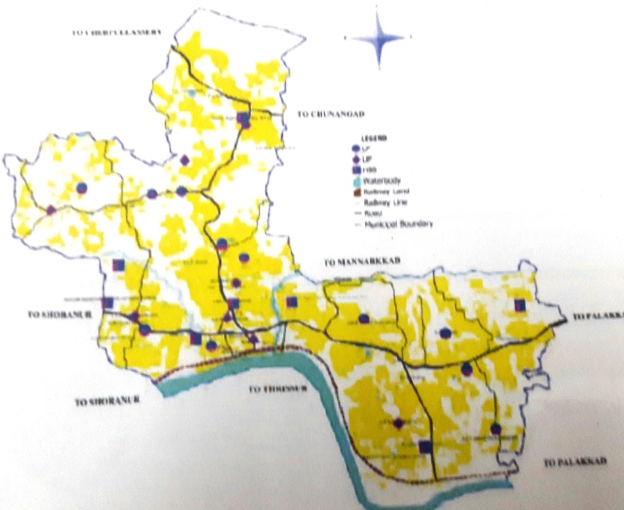
Area (in KM2) : 32.68 Sq Km
Number of Wards : 36
Population : 53,792
Male : 25,359
Female : 28,433
Number of Households : 12,484
Density of Population : 1645 Persons/ Sq Km.
SC Population : 4,765
ST Population : 89
Male Female Ratio : 89.19 %
Literacy Rate : 93%
Number of BPL Families : 5610
Number of Slums : 0