


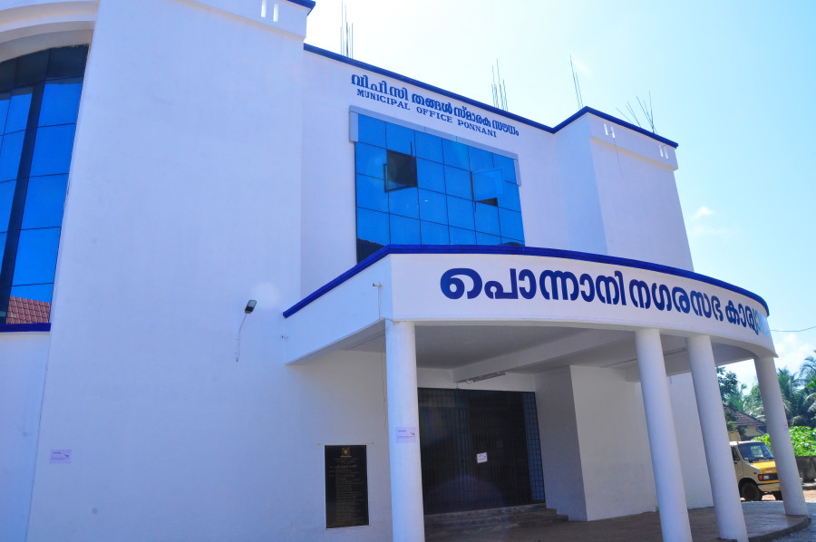
Ponnani Municipality
2
50
504
8587
43
23
The Ponnani Municipality is located in Ponnani taluk in Malappuram district. The Ponnani municipality has a total area of 9.32 sq km and extends to the villages Ponnani and Ezhuvathiruthy. The Ponnani municipality borders the Uripur panchayath in the north, Thananur, Edappal panchayaths in the east, Marancheri, Veliyankodu panchayaths in the south, and the Arabikkadu in the west.
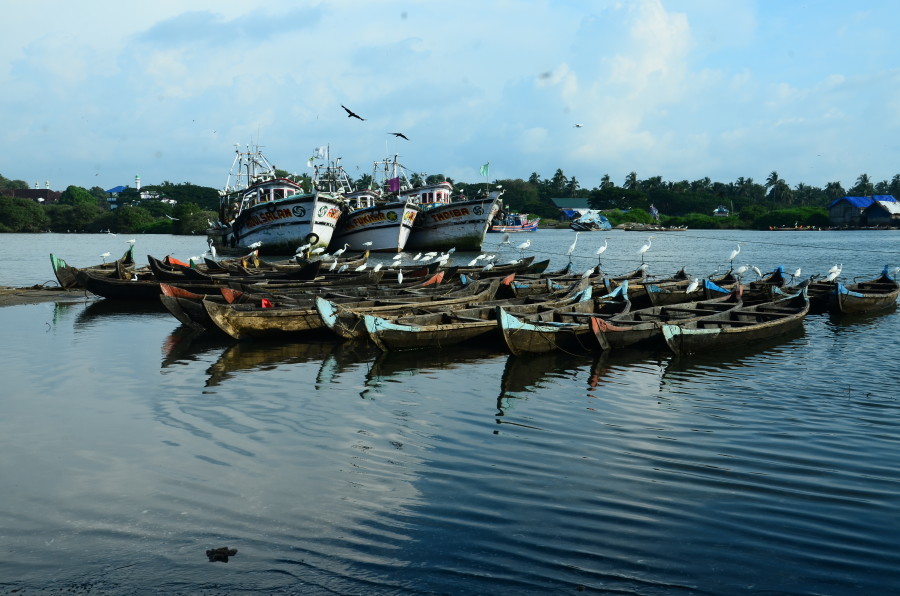
Ponnani is historically famous coastal area in India. It has got innumerable trade relations with foreigners especially with the Arabs. The name “PONNANI” comes from Arab Gols (Ponne in Malayalam) these coins were used in this place while trading with Arabs.
The special grade Ponnani Panchayath was upgraded to third grade Municipality during 15th November 1977. It was divided to 24 wards in 1977, 28 wards in 1984 and 32 wards in 1995. Ezhavathuruthi special grade Grama Panchayath with an area of 14sq Kilometers was joined to Ponnani Municipality having an area of 23.32 Kilometers in September 2000.Presently it has 51 wards.
Population : 83704
Male : 41383
Women : 42321
Density of population : 5555
Male Female Ratio : 1067
Literacy Rate : 69.59